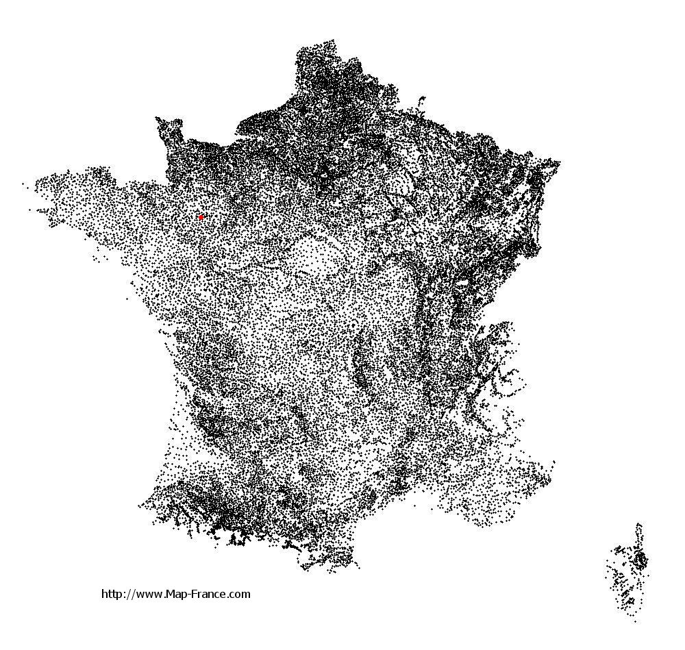
La Chapelle-Anthenaise on the relief France map in Lambert 93 coordinates
|

See the map of La Chapelle-Anthenaise in full screen (1000 x 949)
|
At left, here is the location of La Chapelle-Anthenaise on the relief France map in Lambert 93 coordinates.
Here are the altitudes of La Chapelle-Anthenaise :
- Town hall altitude of La Chapelle-Anthenaise is 110 meters
- Minimum altitude of La Chapelle-Anthenaise is 77 meters
- Maximum altitude of La Chapelle-Anthenaise is 147 meters
- Medium altitude of La Chapelle-Anthenaise is 112 meters
Here are the altitudes of Laval, prefecture of Mayenne department:
- Town hall altitude of Laval is 51 meters
- Minimum altitude of Laval is 42 meters
- Maximum altitude of Laval is 122 meters
- Medium altitude of Laval is 82 meters
Here are the altitudes of the french biggest cities:
Paris : 33 meters
Marseille : 20 meters
Lyon : 237 meters
Toulouse : 146 meters
Nice : 10 meters
Nantes : 20 meters
Strasbourg : 144 meters
Montpellier : 35 meters
Bordeaux : 16 meters
Lille : 20 meters
Rennes : 35 meters
Reims : 83 meters
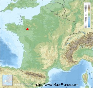
Click here for the terrain map of La Chapelle-Anthenaise in full screen:
Relief map of La Chapelle-Anthenaise
|
This relief map of La Chapelle-Anthenaise is reusable and modifiable by making a link to this page of the Map-France.com website or by using the given code :
|
Terrain base map of La Chapelle-Anthenaise
|

See the terrain base map of La Chapelle-Anthenaise in full screen (1000 x 949)
|
Small relief base map of La Chapelle-Anthenaise
|
This base map of La Chapelle-Anthenaise is reusable and modifiable by making a link to this page of the Map-France.com website or by using the given code :
|
Map of La Chapelle-Anthenaise with regions and prefectures
|
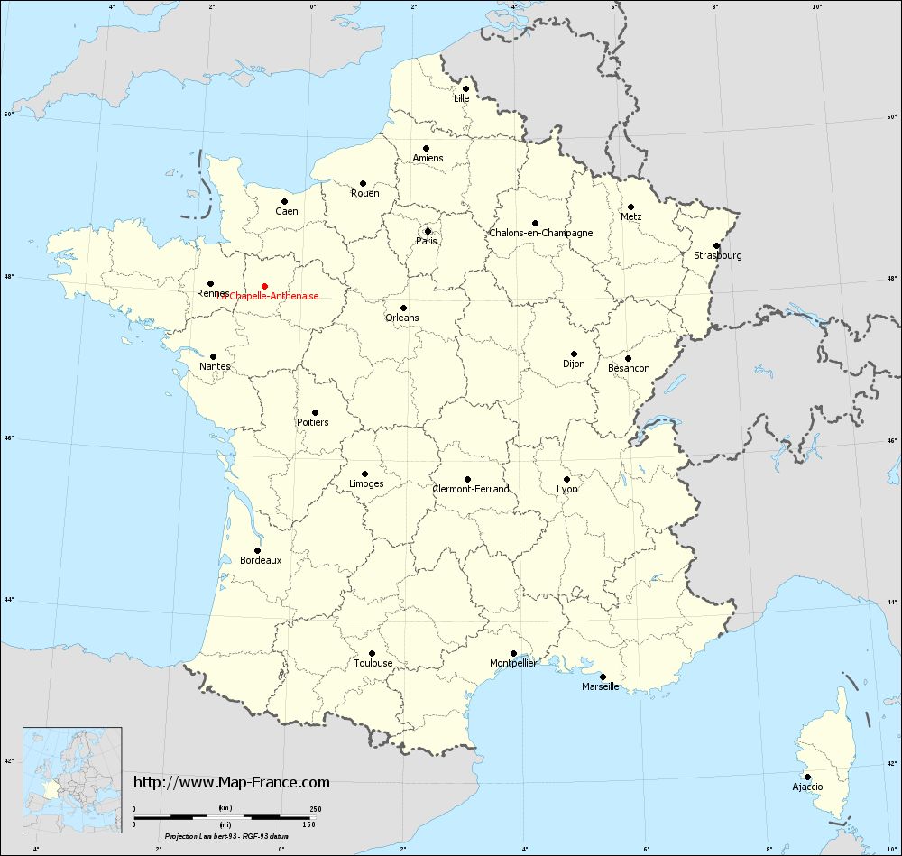
View the map of La Chapelle-Anthenaise in full screen (1000 x 949)
|
You will find the location of La Chapelle-Anthenaise on the map of France of regions in Lambert 93 coordinates. The town of La Chapelle-Anthenaise is located in the department of Mayenne of the french region Pays de la Loire.
Geographical sexagesimal coordinates / GPS (WGS84):
Latitude: 48° 07' 21'' North
Longitude: 00° 40' 38'' West
Geographical decimal coordinates :
Latitude: 48.124 degrees (48.124° North)
Longitude: -0.676 degrees (0.676° West)
Lambert 93 coordinates :
X: 4 265 hectometers
Y: 67 866 hectometers
Lambert 2 coordinates :
X: 3 757 hectometers
Y: 23 513 hectometers
Below, the geographical coordinates of Laval, prefecture of the Mayenne department:
Geographical sexagesimal coordinates / GPS (WGS84):
Latitude: 48° 04' 22'' North
Longitude: 00° 46' 12'' West
Geographical decimal coordinates :
Latitude: 48.072 degrees (48.072° North)
Longitude: -0.773 degrees (0.773° West)
Lambert 93 coordinates :
X: 4 193 hectometers
Y: 67 814 hectometers
Lambert 2 coordinates :
X: 3 685 hectometers
Y: 23 461 hectometers
|
This map of La Chapelle-Anthenaise is reusable and modifiable by making a link to this page of the Map-France.com website or by using the given code :
|
Map of La Chapelle-Anthenaise with departments and prefectures
|
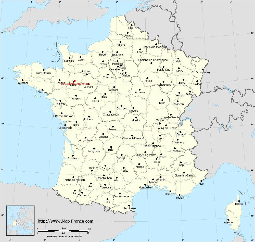
Voir la carte of La Chapelle-Anthenaise en grand format (1000 x 949)
|
Here is the localization of La Chapelle-Anthenaise on the France map of departments in Lambert 93 coordinates. The city of La Chapelle-Anthenaise is shown on the map by a red point.
The town of La Chapelle-Anthenaise is located in the department of Mayenne of the french region Pays de la Loire.
The latitude of La Chapelle-Anthenaise is 48.124 degrees North.
The longitude of La Chapelle-Anthenaise is 0.676 degrees West.
Here the distance between La Chapelle-Anthenaise and the biggest cities of France:
Distances are calculated as the crow flies (orthodromic distance)
Distance between La Chapelle-Anthenaise and Paris : 237.09 kilometers
Distance between La Chapelle-Anthenaise and Marseille : 713.52 kilometers
Distance between La Chapelle-Anthenaise and Lyon : 493.55 kilometers
Distance between La Chapelle-Anthenaise and Toulouse : 528.83 kilometers
Distance between La Chapelle-Anthenaise and Nice : 785.12 kilometers
Distance between La Chapelle-Anthenaise and Nantes : 120.06 kilometers
Distance between La Chapelle-Anthenaise and Strasbourg : 624.36 kilometers
Distance between La Chapelle-Anthenaise and Montpellier : 612.61 kilometers
Distance between La Chapelle-Anthenaise and Bordeaux : 364.6 kilometers
Distance between La Chapelle-Anthenaise and Lille : 387.04 kilometers
Distance between La Chapelle-Anthenaise and Rennes : 74.48 kilometers
Distance between La Chapelle-Anthenaise and Reims : 367.48 kilometers
Clic here to see the map of La Chapelle-Anthenaise in full screen:
La Chapelle-Anthenaise on the map of french departments
|
This administrative map of La Chapelle-Anthenaise is reusable and modifiable by making a link to this page of the Map-France.com website or by using the given code :
|
Administrative base maps of La Chapelle-Anthenaise
|

See the administrative base map of La Chapelle-Anthenaise in full screen (1000 x 949)
|
Small administrative base map of La Chapelle-Anthenaise
|
This base map administrative of La Chapelle-Anthenaise is reusable and modifiable by making a link to this page of the Map-France.com website or by using the given code :
|
 French Version : http://www.cartesfrance.fr